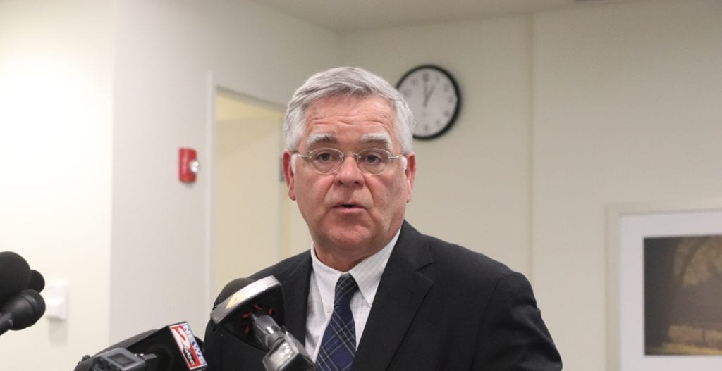
NASHVILLE, TN — Mayor John Cooper today joined the Metro Planning Department and Nashville Department of Transportation (NDOT) to celebrate another step forward for Nashville’s next great neighborhood on the East Bank of the Cumberland River.
The Greater Nashville Regional Council (GNRC) in late December approved a partnership between NDOT and the state’s department of transportation for needed right-of-way acquisition to construct a central, north-south boulevard in the area.
The boulevard will be a backbone for additional connector streets that will include all modes of transportation – with an emphasis on pedestrians, cyclists, and public transit options – for an East Bank that is safe and easy to navigate and, in the long term, connected to the larger Middle Tennessee region.
“We have a remarkable opportunity to create a great neighborhood along the iconic Cumberland River,” Mayor Cooper said. “A great neighborhood requires some key elements – sidewalks, bikeways and greenways, housing, parks, and strong transportation infrastructure. I’m committed to getting these fundamentals right, from the onset of this community-driven project.”
The mayor’s latest capital spending plan – which Metro Council approved in December – includes funding for the East Bank boulevard, plus other investments in city parks and housing along the Cumberland’s West bank.
“Recent grant funding announcements validate Mayor Cooper’s vision of bringing federal and state agencies together with NDOT to implement key aspects of the Imagine East Bank Planning Study,” said Metro Councilmember Brett Withers.
Withers, whose District 6 is home to about half of the area included in the mayor’s East Bank study, chairs the Council’s planning and zoning committee and represents the Council on the city’s Metro Planning Commission.
Imagine East Bank: A Year in the Making, Next Steps
Mayor Cooper’s vision for roughly 338 acres – bounded by I-24 to the east and south, the Cumberland River to the west and Jefferson Street to the north – is a neighborhood that will serve all Nashvillians, with a city greenspace along the riverfront for pedestrians and bicyclists; a boulevard that provides multimodal access and places for residents to live and work.
The area, now the focus of a city study, is today characterized by industrial development, sports use, asphalt parking areas and other large-scale infrastructure that primarily serves vehicle traffic.
Metro Planning, NDOT and the Metro Development and Housing Agency are in the first phase of the East Bank study, one of the largest and most complex undertaken by Metro government.
Since launching Imagine East Bank, Metro Planning has held more than 19 public meetings and more than 100 technical meetings, plus conducted several public surveys, to gather feedback from more than 2,300 people during the first phase.
That feedback helped inform conceptual designs of the boulevard and other potential neighborhood infrastructure, such as bike paths, greenways, parks and enhancements to existing cross-river connections.
After sharing these conceptual designs and gathering yet more input at a November community meeting, Metro Planning is now incorporating residents’ feedback into a vision framework document to present to the Metro Planning Commission in coming months.
To learn more about the East Bank Study, including future community meetings, visit: eastbankstudy.nashville.gov.


